
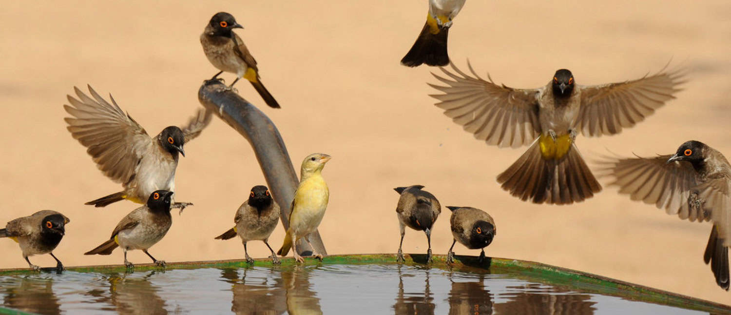
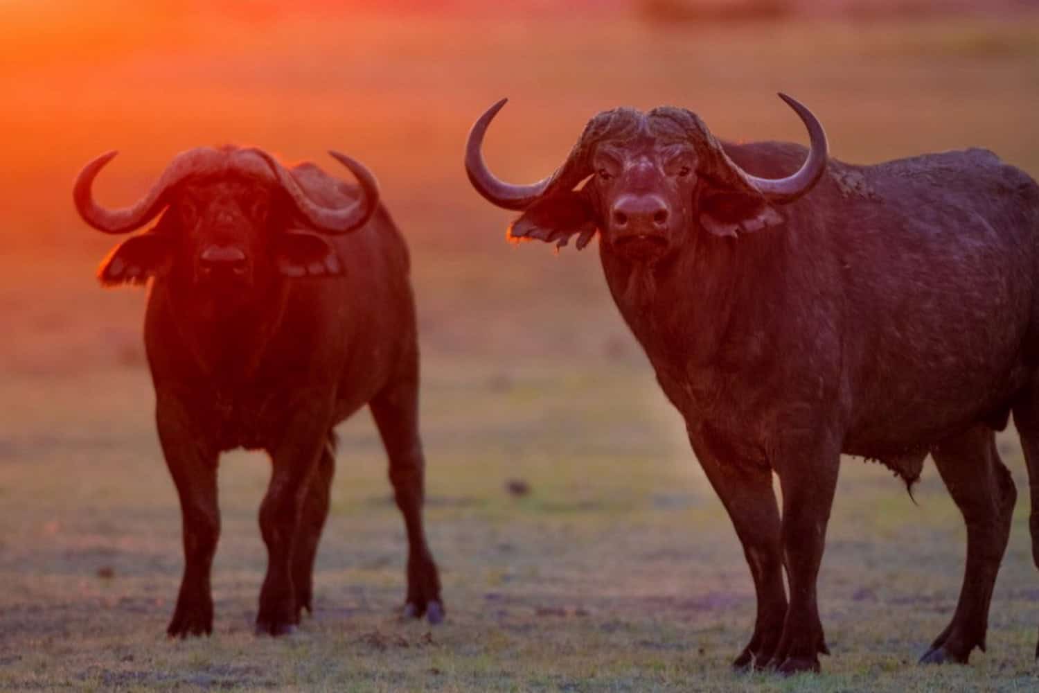
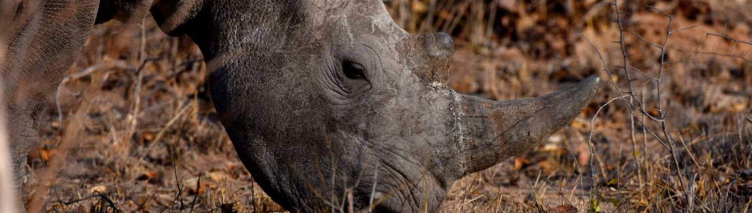
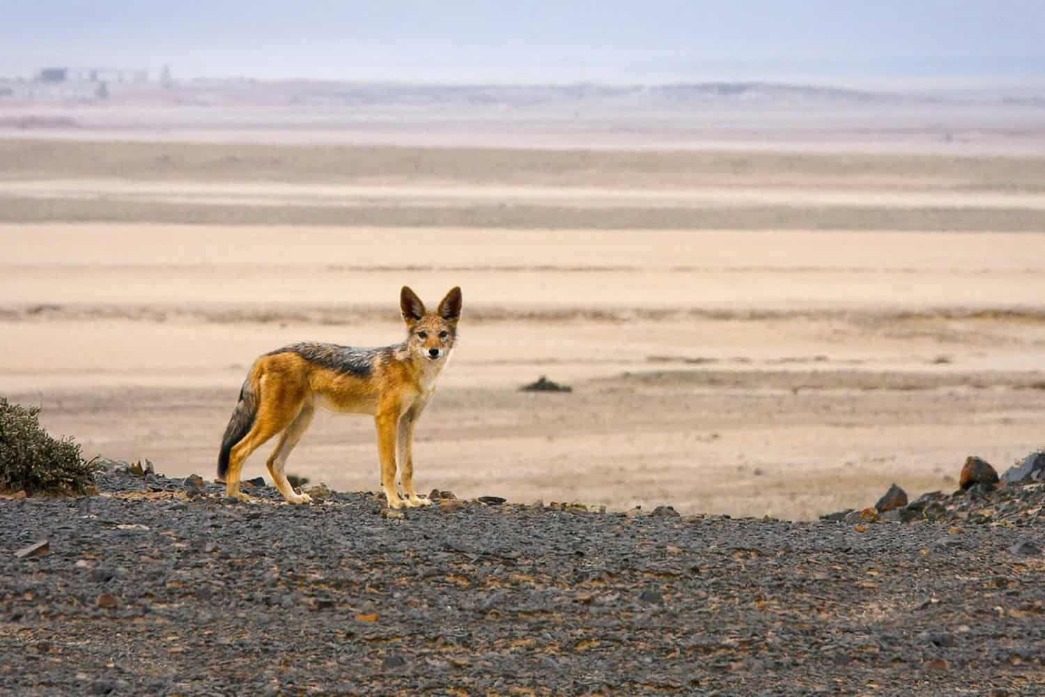
Namibia’s national parks are renowned for their vast and diverse landscapes, offering visitors a glimpse of Africa’s most captivating natural beauty. Etosha National Park, one of the largest and most popular, is famous for its abundant wildlife, including elephants, lions, and rhinos.
Namib-Naukluft Park encompasses the breathtaking Namib Desert and the iconic dunes of Sossusvlei. Fish River Canyon, the world’s second largest canyon, offers dramatic scenery and challenging hiking trails.
These parks not only protect Namibia’s natural heritage, but also offer numerous opportunities for adventure and outdoor activities, making them key tourist attractions.
Mangetti National Park
For a small park, Mangetti has a lot to offer. Formerly dedicated to breeding rare and endangered species, it was transformed into a national park in the hope that it would attract tourists to the area. With an amazing array of animals within the park, it is certainly worth stepping off the beaten path and delving into Mangetti’s pristine and beautifully wild landscapes.
In this biodiversity hotspot, elephants and rhinos roam the savannah and congregate at watering holes alongside a plethora of other animals both large and small. Home to the extremely rare wild dog, Mangetti feels like an unexplored corner of the world and basking in the wilderness feels like an adventure in itself.

Khaudum National Park
Located in the far northeastern region of Namibia along the Caprivi Strip, Khaudum National Park sprawls over 1,483.4 square miles (3,842 sq km), bordering Botswana to the north and Angola to the south-west. It’s one of five national parks in this area, alongside Bwabwata, Mudumu, Mangetti, and Nkasa Lupala.
Situated within the Kalahari Desert, Khaudum experiences dry conditions from April to November, with seasonal rivers like Hnoma, Cwiba, and Khaudum vitalizing the ecosystem during the rainy season. The park features dry acacia forests and savannah, denser along riverbanks, adorned with thorn bushes. Riverbeds are often filled with reeds and water lilies.
This secluded sanctuary, often referred to as Namibia’s Forgotten Wilderness, offers an authentic African wilderness experience, with wildlife sightings including elephants, giraffes, lions, leopards, and various bird species. It serves as a corridor for migrating wildlife between Zambia, Namibia, and Botswana. Visitors in the right season have excellent chances of witnessing diverse wildlife on safari, amidst the tranquil and unspoiled landscapes. With no fences, animals move freely between Khaudum and Botswana, providing an immersive wildlife encounter amidst pristine nature.
Dorob National Park
Dorob National Park, stretching between the Swakop and Ugab rivers, prioritizes conservation over tourism, serving as a vital component of Namibia’s coastal protection strategy. It forms part of the Namib Skeleton Coast National Park, merging with Skeleton Coast, Namib-Naukluft, and Sperrgebiet National Parks. Covering 3,011.6 square miles (7,800 sq km), Dorob was the country’s first park to establish distinct zones tailored to continental conservation needs.
Adjacent to Namib-Naukluft and Skeleton Coast National Parks, Dorob contributes to a protected shoreline spanning 41,520 square miles (107,540 sq km) along 990 miles (1,600 km) of coastline, from the Kuiseb Delta to the Ugab River. Its terrain, featuring sandy beaches, coastal dunes, gravel plains, and ephemeral rivers, hosts diverse wildlife, with Walvis Bay Lagoon designated as a Ramsar Site for its avian richness.
Vegetation like pencil bush, dollar bush, and shepherd’s tree sustains resident wildlife, including springbok, oryx, zebra, hyena, jackal, cape fur seals, and dolphins. Dorob’s 270+ bird species attract birdwatchers, while its vast dunes and shipwrecks add cultural and historical intrigue to this scenic desert landscape.
Bwabwata National Park
Mahango National Park and the former Caprivi Game Park amalgamate to form Bwabwata National Park, sprawling from the Okavango River to the Kwando River, covering over 5,000 km2. Situated in the far northeastern corner of Namibia, bordering Botswana, the park covers 2,422 square miles (6,274 sq km), ranking as the country’s second-largest national park after Namib-Naukluft National Park.
Bwabwata National Park forms part of a cluster of five adjacent national parks in northeastern Namibia, including Mangetti, Khaudom, Mudumu, and Nkasa Rupara. Established in 2007 by merging Caprivi Game Park and Mahango Game Reserve, the park’s boundaries are delineated by the Okavango River to the west, Angola’s border to the north, the Kwando River to the east, and Botswana’s border to the south.
Remarkably, Bwabwata National Park accommodates over 5,000 residents within its boundaries, thus incorporating community needs into wildlife management and conservation efforts. Featuring low-lying sand dunes, woodlands, and floodplains, the park hosts diverse ecosystems that support a wide range of animal species. Positioned as a migratory crossroads between Angola and Botswana, Bwabwata witnesses fluctuating animal populations throughout the year.
Elephants play a pivotal role in the park’s ecosystem, with other sought-after species including lions, leopards, cheetahs, hyenas, crocodiles, giraffes, antelopes, hippos, wildebeests, and zebras. Bwabwata is also a haven for bird enthusiasts, recognized internationally as an Important Bird Area, supporting endangered or threatened species like the wattled crane, coppery-tailed coucal, southern ground hornbill, African pygmy goose, Bennett’s woodpecker and the wood owl.
Nkasa Rupara National Park
Exploring this park demands thorough preparation due to its remote location and challenging terrain, coupled with limited facilities. However, for intrepid adventurers, the national park offers a wealth of extraordinary sights, making the journey well worthwhile.
Nkasa Rupara, the country’s largest wetland area, truly thrives during the rainy season when the Kwando River floods its surroundings. At this time, lush vegetation flourishes, attracting a diverse array of wildlife to the area.
Comprising arid channels that transform into vibrant ecosystems amidst lagoons and islands, the wetlands offer an unforgettable journey of exploration. Enormous flocks of birds soar overhead while buffalo gather to graze and wallow in the water, creating an immersive wildlife experience.
Mudumu National Park
Nestled in the far northeast region of Namibia within the Caprivi Region, Mudumu National Park spans 285 square miles (737 sq km). Part of a cluster of five national parks in this remote corner, alongside Bwabwata, Khaudum, Mangetti, and Nkasa Lupala, Mudumu remains relatively undiscovered, yet promises a rewarding adventure for those who venture into its depths.
Defined by a lush riverine ecosystem tracing the Kwando River, Mudumu is surrounded by dense mopane and Kalahari woodlands, providing abundant refuge for its diverse wildlife. With a flat topography throughout, punctuated only by the seasonal flow of the Mudumu Mulapo, a fossilized river, during the rainy season, the park offers a serene landscape. Among the park’s inhabitants are a range of predators including cheetahs, lions, leopards, hyenas, and African wild dogs, alongside a plethora of other popular wildlife species such as buffalo, crocodiles, elephants, giraffes, hippos, kudus, roan antelopes, oribis, impalas, wildebeests, and zebras.
Mudumu is also a paradise for bird enthusiasts, hosting over 430 species that either nest or migrate through its borders, with highlights including the African fish eagle and snake eagle. Recent efforts to reintroduce giraffes and antelopes have further enriched the park’s biodiversity, offering visitors a captivating display of wildlife. Exploring the park typically involves embarking on a game drive, with most safari vehicles equipped with four-wheel drive to tackle the challenging terrain with ease.
Skeleton Coast National Park
Arguably one of Namibia’s most breathtaking sights, the Skeleton Coast stretches over 500 km along the desolate northwestern shoreline, framed by towering sand dunes of the adjacent desert. Renowned as one of Africa’s most remote and captivating wilderness areas, the Skeleton Coast was once dreaded by sailors for its perilous shores but is now cherished for its beauty, serenity, and isolation.
The southern stretch, spanning from the Ugab River to Torra Bay, is freely accessible to the public. Entry to the northern section can be gained at the park gate at Ugab Mouth, with day access permitted between sunrise and sunset, except for guests staying at Terrace or Torra Bay Resorts. Access beyond Terrace Bay to Angola is restricted to fly-in tours.
Skeleton Coast National Park, covering 6,504 square miles (16,845 sq km), lies along Namibia’s northwest shoreline, known for its rugged terrain and scattered shipwrecks. The name “Skeleton Coast” aptly reflects the park’s remoteness, inaccessibility, and the remnants of wrecked vessels strewn across its expanse, numbering over 1,000.
Local lore often refers to the park as “The Land God Made in Anger,” a name stemming from the whale and seal skeletons left behind by the whaling industry. Divided into two distinct regions, the park’s southern section allows for exploration by four-wheel-drive vehicles, while access beyond is prohibited, marked by a skull-and-crossbones sign.
The northern region, accessible only by air, features a rugged coastline with a relentless surf that historically trapped ships. Soft sandy shores, occasional rocky formations, and gravel plains characterize much of the coastline, with higher dunes and a sizable seal population found in the north.
This region showcases natural wonders such as the ephemeral Hoarusib River, the salt pans of the Agate Mountains, and Cape Fria, designated as a wilderness area teeming with wildlife including lions, giraffes, elephants, hyenas, black rhinos, springboks, and baboons.
Notable attractions within the park include shipwrecks like the Eduard Bohlen, Benguela Eagle, Otavi, Dunedin Star, and Tong Taw. The northern region, accessible only by air, offers the best opportunities for wildlife viewing and boasts picturesque landscapes featuring canyons, rivers, and towering coastal dunes.
Tsau //Khaeb National Park
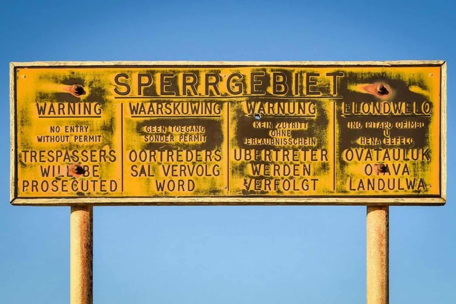
Formally Sperrgebiet National Park, now known as Tsau //Khaeb National Park (with “Tsau” signifying “Soft” and “//Khaeb” meaning “Sand”), stands as Namibia’s latest addition to its national park system. Situated bordering the Orange River to the south, with South Africa, and the Atlantic Ocean to the east, this newly proclaimed jewel forms a significant part of Namibia’s protected area network. Covering the vast expanse that was once known as the “forbidden territory,” the park spans an impressive 22,000 km² of semi-desert landscape, constituting a portion of the Succulent Karoo biome, renowned for hosting the highest diversity of succulent flora worldwide.
Within its boundaries, Tsau //Khaeb National Park showcases spectacular natural features, including giant rock arches, meteor craters, and fossil and archaeological sites, including Africa’s most significant shipwreck discovery. Hosting approximately 1,050 plant species, representing nearly a quarter of Namibia’s entire flora, within just three percent of the country’s land area, the park played a pivotal role in the recognition of the Succulent Karoo as one of the world’s top 34 “biodiversity hotspots.”
Historically associated with diamond mining, the “forbidden territory” remained inaccessible to the public for decades, preserving its pristine and untouched state. While much of the park remains off-limits to visitors, several notable attractions are open to the public with the necessary permits from NWR (Namibia Wildlife Resorts).
These include Elizabeth’s Bay, Kolmanskop, and Ponoma ghost towns, the towering 55-meter high Bogenfels rock arch, and the enchanting “fairytale valley.” The park primarily showcases natural landscapes and man-made attractions, offering visitors the opportunity to marvel at Namibia’s unique scenery rather than wildlife sightings. However, Oryx, Springbok, and seals are frequently encountered, and just off the coast, whales and dolphins can be spotted amidst the park’s seventeen islands.
Namib-Naukluft National Park
Covering an expanse of 49,768 square kilometers, Namib-Naukluft National Park stands as Namibia’s largest conservation area and the fifth largest in Africa. Encompassing diverse landscapes including gravel plains, desert expanses, canyons, and mountains, its crown jewel is undoubtedly the iconic desert dunes of Sossusvlei.
Positioned on the western side of Namibia, just south of the midpoint, the park spans from the Atlantic Ocean shoreline to the onset of the Great Escarpment, extending into South Africa. It shares its border with the neighboring Dorob National Park to the north. With an area of 19,216 square miles (49,768 sq km), it ranks as Africa’s largest national park and the fourth largest globally, showcasing the breathtaking beauty of the Namib Desert.
– The Namib Sand Sea lies within Namib-Naukluft National Park, south of the Kuiseb River in central Namibia. In 2012 it was designated a UNESCO World Heritage Site, Namibia’s second, but first Natural World Heritage Site. The area has been protected for more than 50 years, remaining relatively unscathed from human attention. Home to more than 300 species of life forms, of which more than 50% are estimated to be endemic to the area, it is not hard to understand why the Namib, and this area in particular, is known fondly as a ‘living desert’. The daily intake of fog from the cold Benguela Current of the Atlantic Ocean has caused these life forms to take on rare behaviour in order to survive on minimal water in this hot, and cold, sandy landscape. The Namib Sand Sea covers around 35 000 km2 and is deemed the oldest desert in the world.
– “Sossusvlei” is derived from Afrikaans words meaning “clay pan or ‘vlei’ “no return,” and “a dead end,” evoking the image of a pan area with no way out. In reality, it functions as a drainage basin for the Tsauchab River, experiencing periodic flooding that sustains its seasonal vitality. Mostly arid, the pan seldom holds water and is surrounded by towering dunes soaring up to 300 meters from the desert floor.
– The Namib Desert stretches well beyond the confines of the national park, spanning most of Namibia and extending into Angola to the north and South Africa to the south. It spans over 1,200 miles (2,000 km) from north to south. The Namib Desert stands out as a remarkable attraction in its own right, renowned as the oldest desert globally. The scenery also features impressive mountains, naturally formed canyons, extensive gravel plains, and immense sand dunes, varying in hues of red and orange, creating a captivating landscape.
– The Naukluft Mountains, a mountain range extending beyond the national park’s limits, include the southern portion situated in the park’s easternmost area. These mountains provide habitat for leopard and mountain zebra, though spotting them can be challenging as they often roam deeper into the mountains outside the park.
– Sesriem Canyon, formed by the Tsauchab River, is a remarkable geological feature despite its relatively short length of 0.6 miles (1 km) and height of 100 feet (30 m). Certain sections of the canyon narrow down to just 6.5 feet (2 m) wide. While one part of the canyon typically holds water year-round, the rest remains dry except during the rainy season. This water source attracts wildlife, making it an excellent spot for animal sightings.
Etosha National Park
Arguably Namibia’s greatest national park, Etosha serves as the epicentre of the country’s wildlife experience. Etosha National Park derives its name from the local translation meaning “Great White Place,” a reference to the expansive Etosha pan, which covers 23-25% of the park’s total area.
Spanning 1,840 square miles (4,760 sq km), the Etosha pan forms a significant portion of the park, which itself covers 8,600 square miles (22,270 sq km). Originally a lake, the pan rarely holds water except during periods of heavy rainfall, when it becomes a haven for various wading birds, including the iconic pink flamingos.
The Etosha region features a diverse landscape, comprising saline deserts, savanna woodlands, savannas, and grasslands. The pans are predominantly devoid of vegetation, with sparse grasses being the primary exception. Moving away from the pans, Mopane trees dominate approximately 80% of the park’s forests. The arid and open nature of the landscape makes wildlife viewing relatively easy.
Etosha National Park is home to a wide variety of mammals, reptiles, and birds. Most visitors are drawn to the park for safaris through the pans and woodlands, where opportunities to observe wildlife abound. Given the arid nature of the region, watering holes become prime spots for wildlife sightings.
To enhance the nocturnal viewing experience, floodlights have been installed at several popular watering holes throughout the park. Wildlife is the highlight of Etosha with over 110 mammal species found within the park. Black and white rhinoceroses are spectacular sightings as well as big cats, elephants, giraffes and lions. The buffalo is extinct from the area making it the only one of the Big 5 absent from the park.
Waterberg Plateau Park
Waterberg Plateau National Park lies in the central part of Namibia, situated on the eastern side of the central highlands, covering an area of 156 square miles (405 sq km).
At the heart of the national park stands the expansive table mountain, towering over the plateau and offering breathtaking views.
The plateau, which rises high above the Kalahari plains of eastern Namibia, stretches endlessly for 31 miles (50 km) in length and 9.94 miles (16 km) in width. Some even argue that it surpasses the renowned Table Mountain in South Africa in terms of grandeur.
Reaching heights of up to 656 feet (200 m), the Waterberg wilderness serves as a verdant oasis within the Kalahari region. The diverse vegetation, including acacia bushes, evergreen trees, broad-leafed wooded areas, and grasslands, creates a rich ecosystem that supports a variety of threatened species, allowing them not only to survive but also to thrive.
Among the park’s most notable species are the black rhinoceros, white rhinoceros, giraffe, oryx, kudu, roan antelope, sable antelope, and various smaller antelope species. Predatory species such as leopard, hyena, cheetah, and wild dog also roam the area. Cape vultures and Verreaux’s Eagles are among the over 200 species of birds nesting or migrating through the park.
Accessing the plateau can be quite challenging, a factor that has contributed to the park’s reputation as an excellent sanctuary for protecting wildlife from poachers. Visitors to the park can enjoy hiking treks and wildlife game drives, particularly to catch a glimpse of the rhinos.
/Ai/Ais-Richtersveld Transfrontier Park
The /Ai/Ais-Richtersveld Transfrontier Park was Namibia’s first transfrontier conservation area and spans some of the most spectacular arid and desert mountain scenery in southern Africa.
It includes the Fish River Canyon in Namibia and the Richtersveld National Park and Richtersveld World Heritage Site in South Africa. Hiking and Kayaking here is demanding but spectacular – trails traverse jagged peaks, rock formations, deep ravines, and gorges.